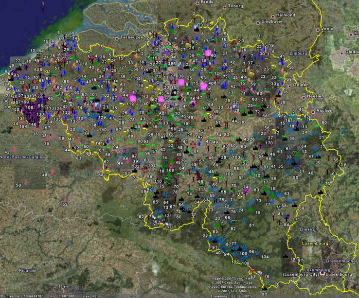
All POIs together on one map
All POIs together means that they all need their own distinguishable Icon. We have created different Icons for the different categories. Don't worry about recognizing them. Once you will use them in Google Earth, you can switch on/off categories, and you will very quickly become familiar with our Icons.

What is this good for?
We have built this page when we had 15 categories completed. Finally the site will contain over 30 categories. When we project all those icons of all POIs on one single map of Belgium, it will become a sort of art work, but no information can be read from it.
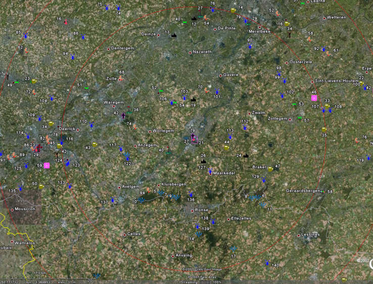
It is not too clear, but we have drawn circles with radii of 20, 30, 40, and 50 km around Audenarde (Oudenaarde), because we suppose that we stay there (temporarily). A circle with a radius of 20 km has a surface of 1250 square kilometers. If we now zoom in on the inner circle with radius 20 km, we get the following image:

Important
Once you project the POIs in Google Earth on your own computer, you will have a much better image than the ones on this page, because our images are sized down and rather much compressed, in order to obtain reasonable file sizes.
Missing in this static image
In the center of Oudenaarde (Audenarde) we see three numbers: 21, 79, and 27. How to know which number corresponds with which Icon? In this static image you can not find out, but in Google Earth live, when you move the cursor over an Icon OR over a number, the Icon AND the number are highlighted. This way we know that here we can find Beguinage 21, War-cemetery 79, and Belfry 27.
Also missing, of course, is the fact that in this static image one can not temporarily zoom in to see more detail.
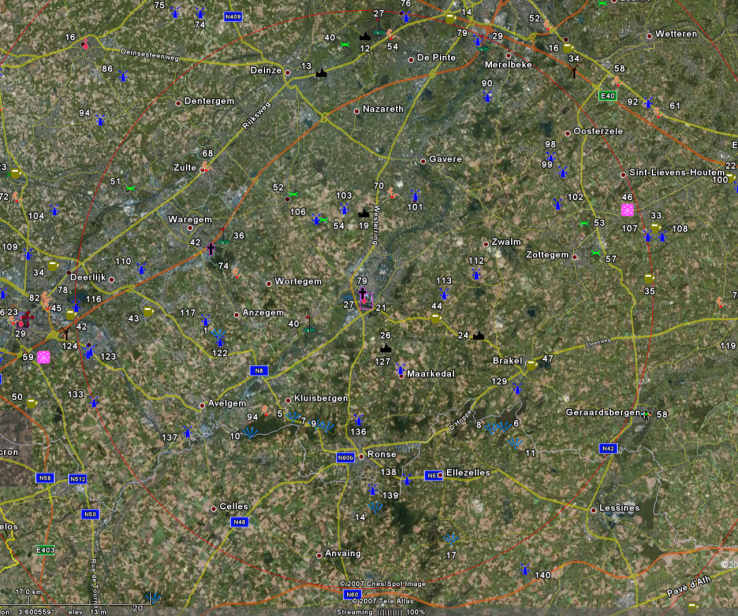
Roads switched on
We have added roads to our image, because we want to plan our first day trip. We admit that in Google Earth we have zoomed in more, in order to see the smaller roads.

Our first day trip
We saw on the map lots of Old Windmills, some castles, breweries. Today we will visit windmills and castles, but as there is a splendid village nearby, we will give it a quick visit too. And why not finish the day at a brewery? In Google Earth we zoomed in a bit more than can be done in the above image, and noted on a piece of paper or in our pocketPC:
First day:
- Castle 52.
- Windmill 106.
- Castle 54.
- Windmill 103.
- Splendid village 19.
- Windmill 101.
- Windmill 112.
- Windmill 113.
- Brewery 44.
This is all we need. Once we have all the POIs in our car GPS navigator, we only have to click them and off we go. And if you are so lucky to have a GPS Navigator that allows you to plan a multi-point trip, you only have to choose the above list and the Navigator calculates the optimum order in which to visit all these points.
The only way to plan efficiently
Without a clear visual overview of all POIs that might eventually interest you, it will be impossible to plan efficiently and visit the maximum of number of POIs in a minimum of time and with the least mileage for your car.
Plan as many trips as you like
We will show you how you can use the results of our research to plan as many trips in Belgium as you can imagine. If you never used Google Earth or loaded .KML files into it, we will show you step-by-step the how-to.
Here is an "Introduction to Google Earth" with some "Important Settings".If you are already familiar with Google Earth, you could go directly to the
"Google Earth and POIs" page.
Return from "All POIs Together" to the Home page.
